SDF method workshop, Ethiopia
The event
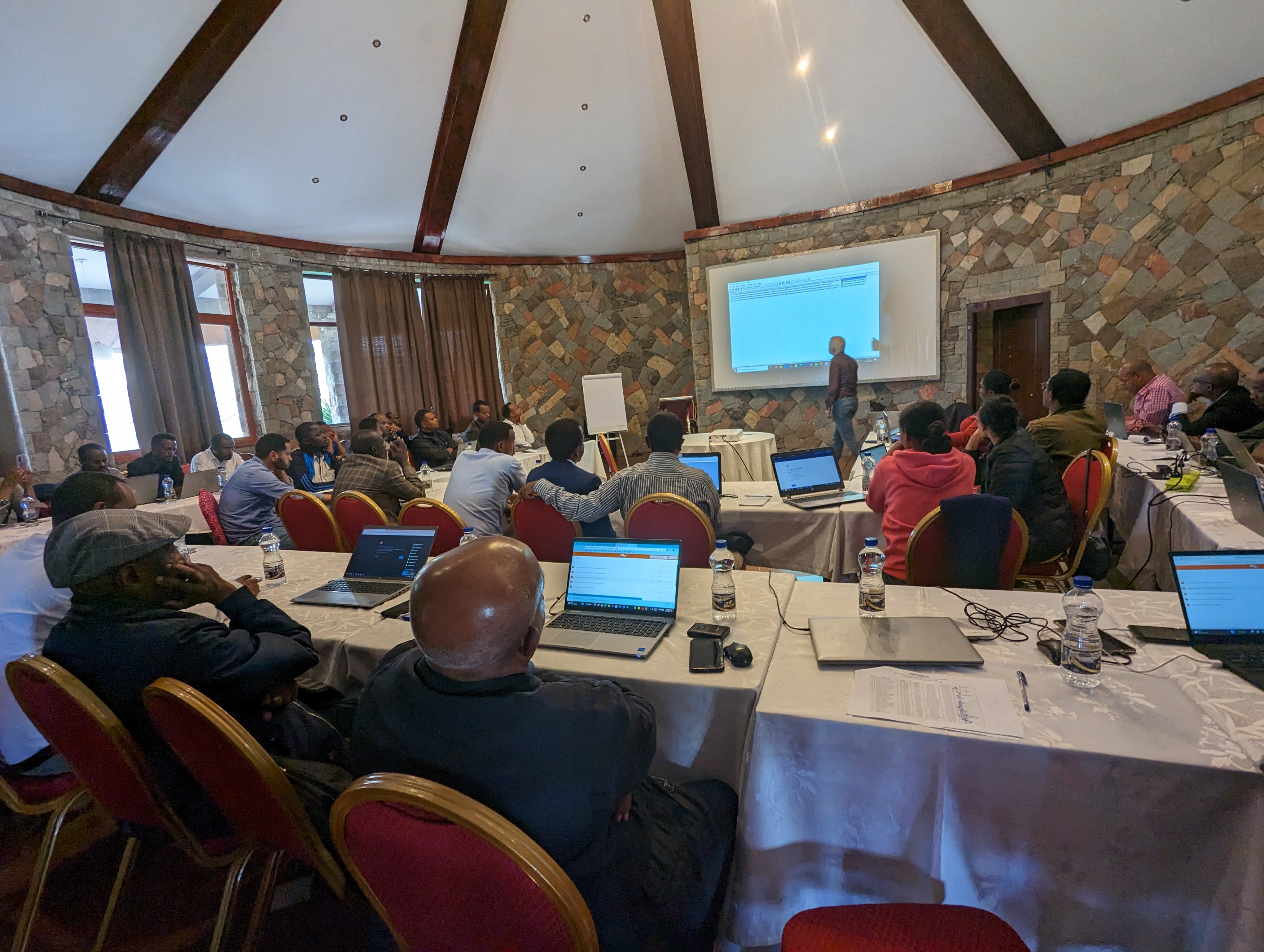
For a week in March, SEWOB travelled to Addis Ababa, Ethiopia, to start the next step of the Regional Development Spatial Plan (RDSP) project, supporting the Faculty of Geo-information Science (ITC) of the University of Twente, in a UN-Habitat project for the Government of Ethiopia. Over 40 representatives from across Ethiopia - regional team leaders, GIS experts, and delegates of the Ministry of Urban Development and Infrastructure - attended the 3-day workshop, where new methods for regional scenario development were discussed, highlighting the use of spatial data. The last session of the workshop had in attendance representatives from the World Bank, during which an overview of the 3-day workshop and its contributions to the next phase of the RDSP project was discussed.
Background
SEWOB has been involved in the RDSP project since 2022; supporting 10 Ethiopian regions by aiding in spatial data analysis for regional strategic planning. So far, local data collectors have generated much-needed data in the preceding project phase, which enabled the development of maps to discover regional functional relationships in the next phase. This is precisely where SEWOB's expertise comes in: maps! 🗺️
Goals and progress
SEWOB helps in making sense of the spatial data and the creation of maps: maps for all of Ethiopia to describe the territory and see spatial relations or linkages across it. This aids planning and decision-making on a national and regional scale, as investments can be better targeted towards the areas in need, or where opportunity unveils on the map. The majority of our work is done from our homestead in the Netherland, using intermittent online meetings with Ethiopian regional Experts. However, to assist with a three-day workshop in Bishoftu, just southeast of the country's capital, SEWOB's Sander Blokhorst flew in together with two other University of Twente team members to work with regional leaders of Ethiopia.
Attendees of the workshop learned about spatial decision support tooling. These open-source
tools allowed attendees to draw up decision trees and weigh regional challenges and goals based
on multiple criteria, while adhering to existing strategic policies. Moreover, it creates
cohesion with the national strategic plans thanks to its bottom-up approach. With the workshop
behind us, participants are now ready to start the next phase, implementing the decision-support
tools further, with SEWOB's continued support.

Ideas or questions?
Do you want to know more about our approach for this project or are you interested in how we can help with your spatial challenges? Send a message and we'll meet up, we're glad to hear from you!